
Hiking itineraries
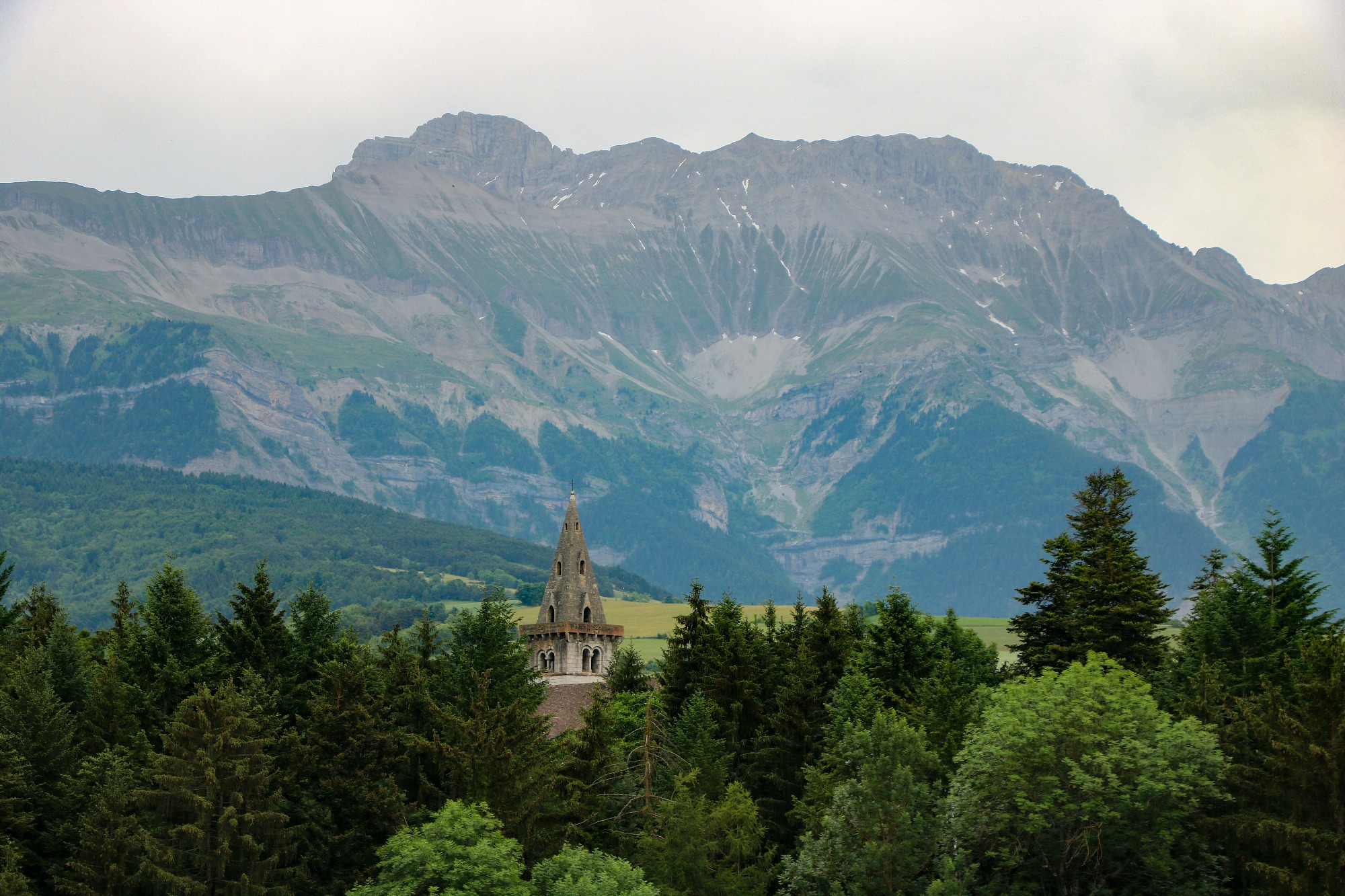
If you’re looking for an idea for a hike, the Trièves has some magnificent itineraries to introduce you to the beauty of its landscapes and the richness of its natural and cultural heritage.
From the shores of Lake Monteynard-Avignonet to the Grand Veymont mountain, via villages, mountain pastures, the Balcon Est du Vercors ridges or the slopes of the Obiou, select your hike in just a few clicks from among a vast choice of themed trails, summits, discovery loops, viewpoints…
Discover 3 castles: Château d'Avignonet (17th century), Château de Pâquier (16th century) and the ruins of Château d'Ars (13th century). Enjoy panoramic views over the Drac valley and the Monteynard-Avignonet dam.
La Boucle des 3 Châteaux
Avignonet
Distance
15.3km
Duration
6h
Elevation
534m
Difficulty Level
Quite difficult
An ideal family outing that takes you to the heights of Mens. Through fields, forests and paths, you'll discover magnificent panoramas of the Dévoluy massif and the Vercors.
Tour de Villette
Mens
Distance
6.05km
Duration
2h
Elevation
168m
Difficulty Level
Easy
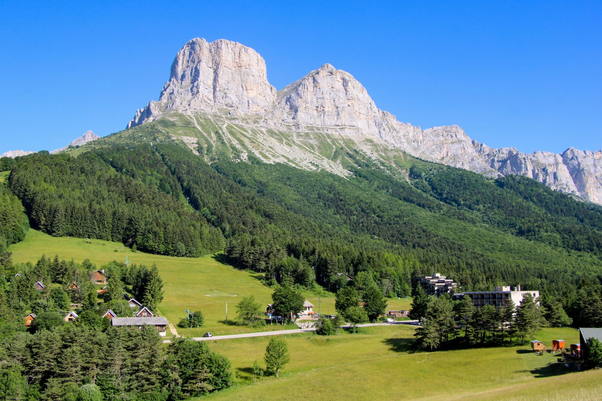
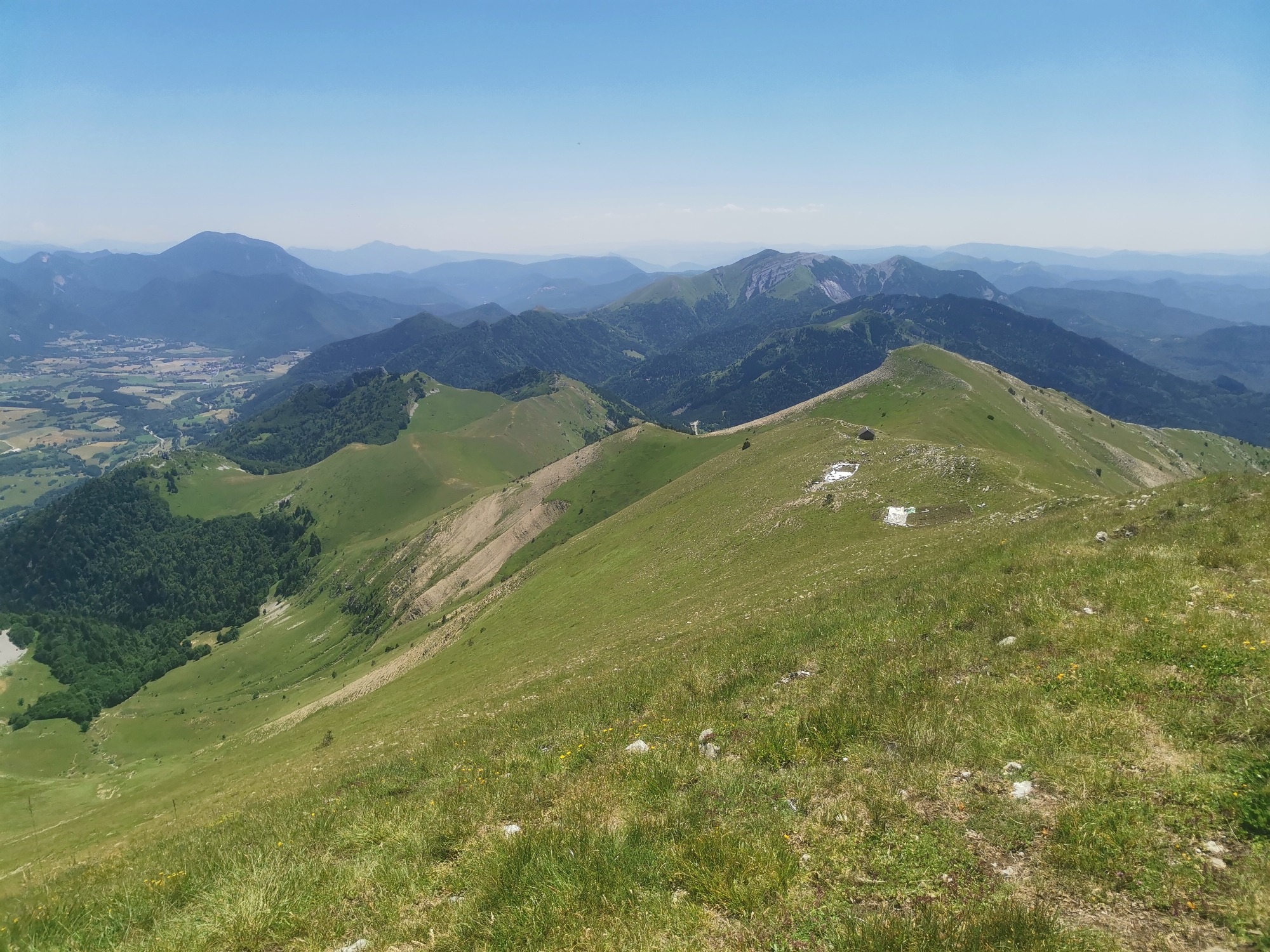
A varied walk alternating between forested and open stretches, the Brisou ridge offers magnificent views of Mont-Aiguille and Grand-Veymont. Two picnic tables make for a pleasant break at the summit!
La Crête du Brisou
Gresse-en-Vercors
Distance
8.9km
Duration
4h
Elevation
430m
Difficulty Level
Quite difficult
A pleasant hike starting from the Col de l'Arzelier that will give you the chance to gain height and a bird's eye view of the Trièves region. You won't want to miss the Two Sisters on your way out.
Crête de la Ferrière
Château-Bernard
Distance
6.4km
Duration
3h
Elevation
454m
Difficulty Level
Quite difficult
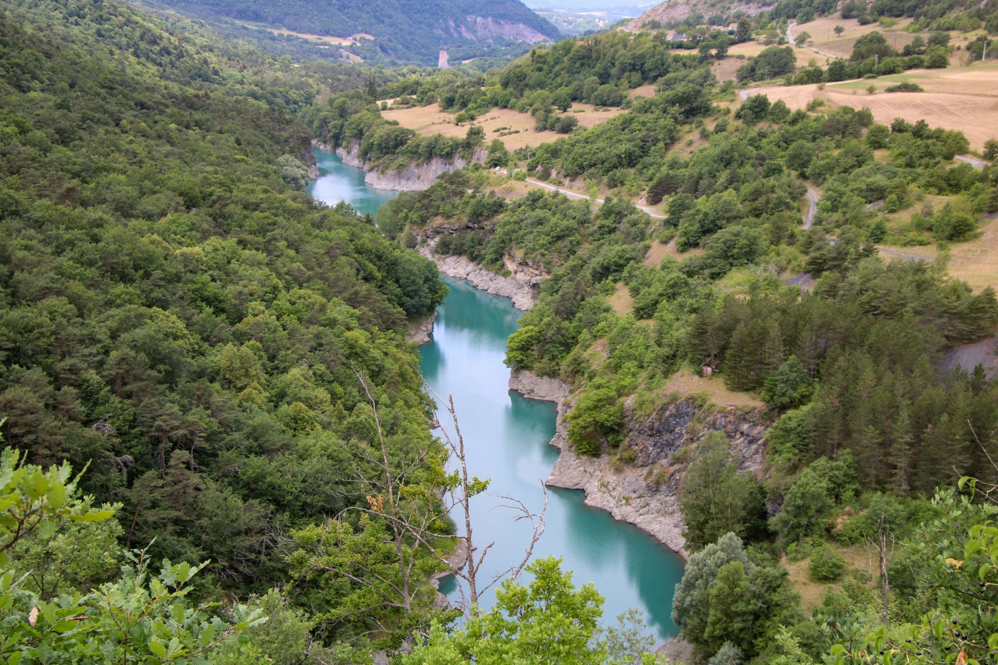
Come and discover the Drac as you rarely do. This beautiful loop will take you down into the Drac gorges and allow you to observe the turquoise waters of this magnificent river.
Les Balcons du Drac
Saint-Jean-d'Hérans
Distance
8.43km
Duration
3h
Elevation
311m
Difficulty Level
Moderate
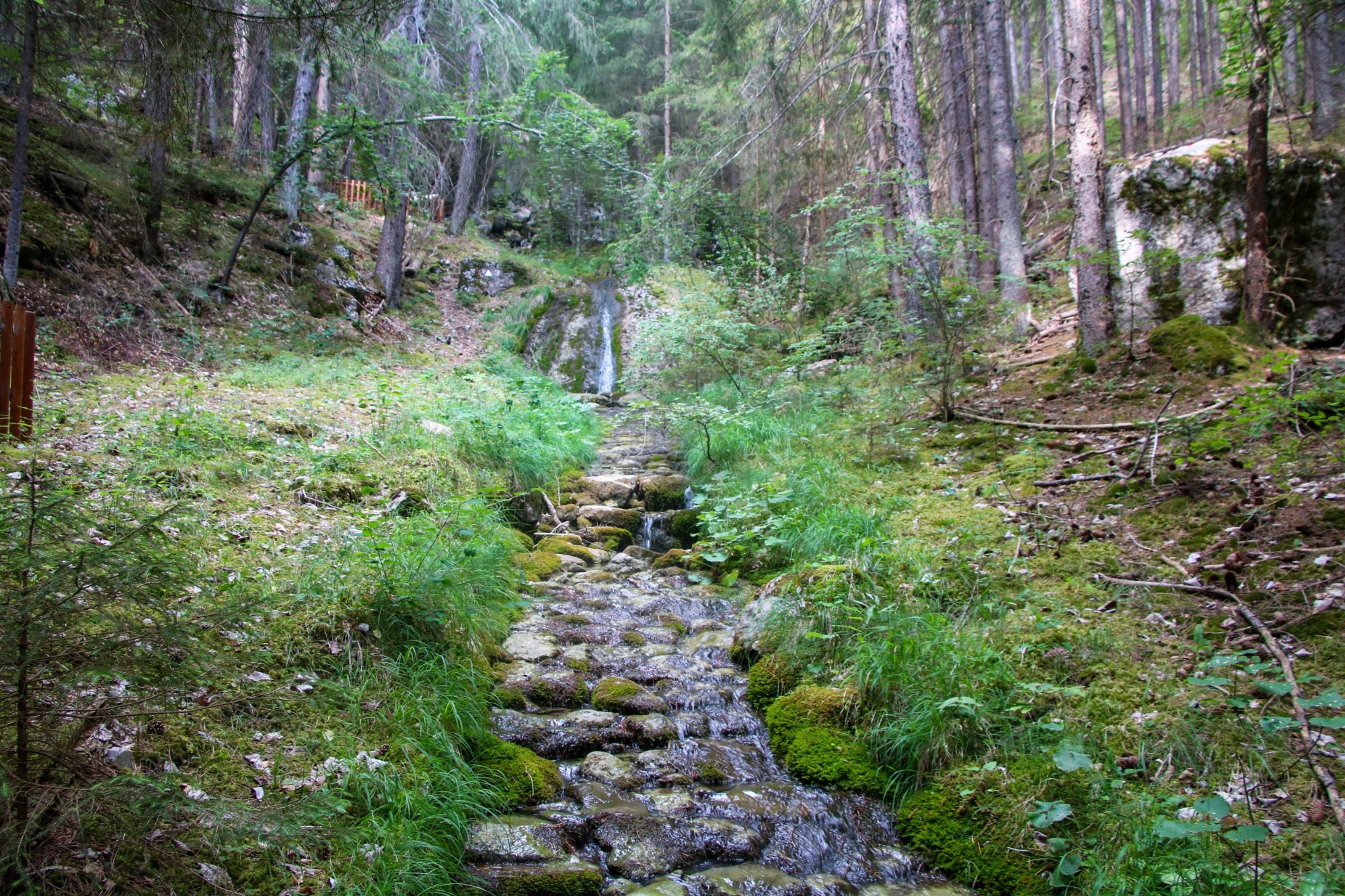
Come and discover this small stream hidden in a large forest above Cordéac. A trail with several stations will help you understand the history of this cobbled stream!
Le Ruisseau des Pavés
Châtel-en-Trièves
Distance
3.5km
Duration
2h
Elevation
316m
Difficulty Level
Moderate
Take a refreshing hike through the magnificent Ménil forest. Once at the top of the mountain, you'll enjoy a panoramic view of the Trièves.
Le Ménil depuis le Col de Mens
Tréminis
Distance
7.9km
Duration
3h
Elevation
473m
Difficulty Level
Quite difficult
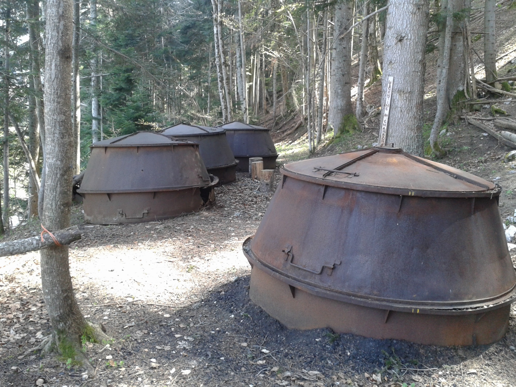
Follow in the footsteps of the Charbonnières de Saint Guillaume, once used to produce charcoal. They were restored to working order in 2010 as part of a heritage project run by village volunteers.
Sur la trace des charbonnières
Saint-Guillaume
Distance
1.8km
Duration
1h
Elevation
97m
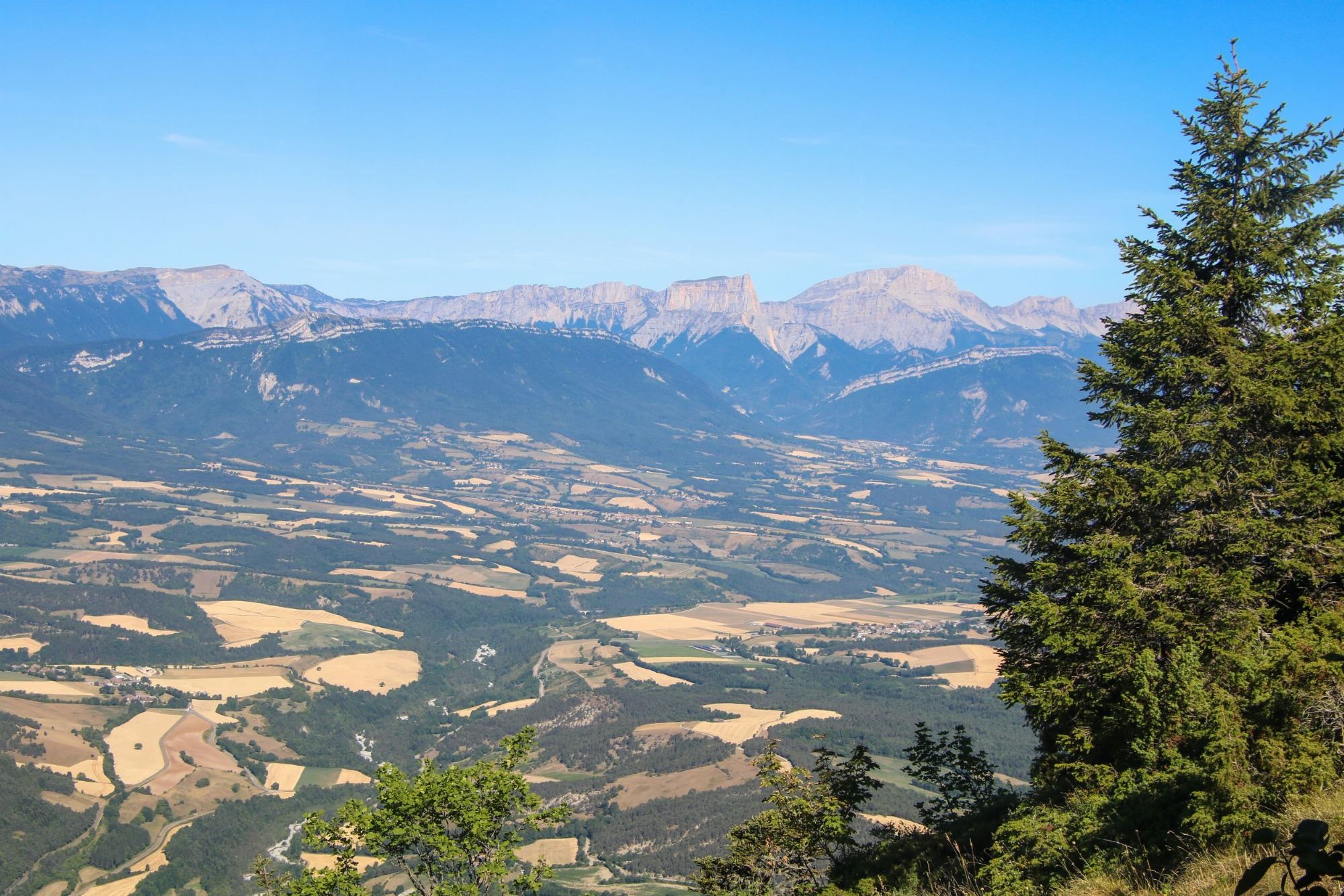
On the border between the Drôme and Isère departments, the Jocou summit offers a magnificent 360° view. The ascent on the Lalley side is through the grassy slopes of the alpine pasture, then along the Archat ridge.
Le Jocou
Lalley
Distance
7.5km
Duration
4h
Elevation
660m
Difficulty Level
Difficult
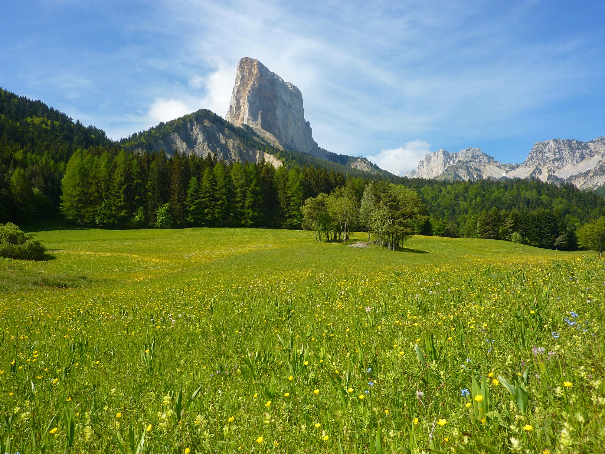
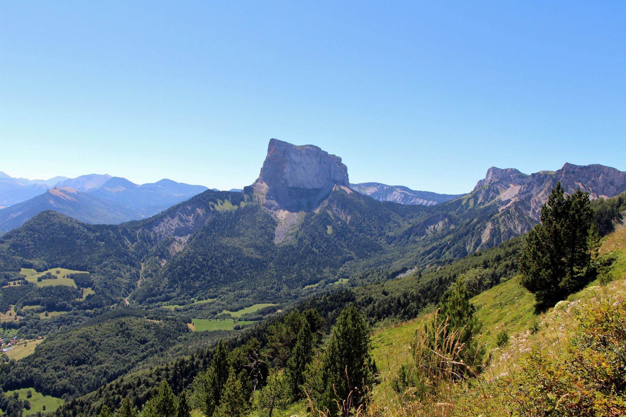
This superb, long hike allows capable ramblers to view the limestone needle, separated from its original neighbouring cliff, from all angles. You will encounter an astonishing variety of landscapes.
Hike around Mont Aiguille
Chichilianne
Distance
17.8km
Duration
7h
Elevation
1092m
Difficulty Level
Very difficult
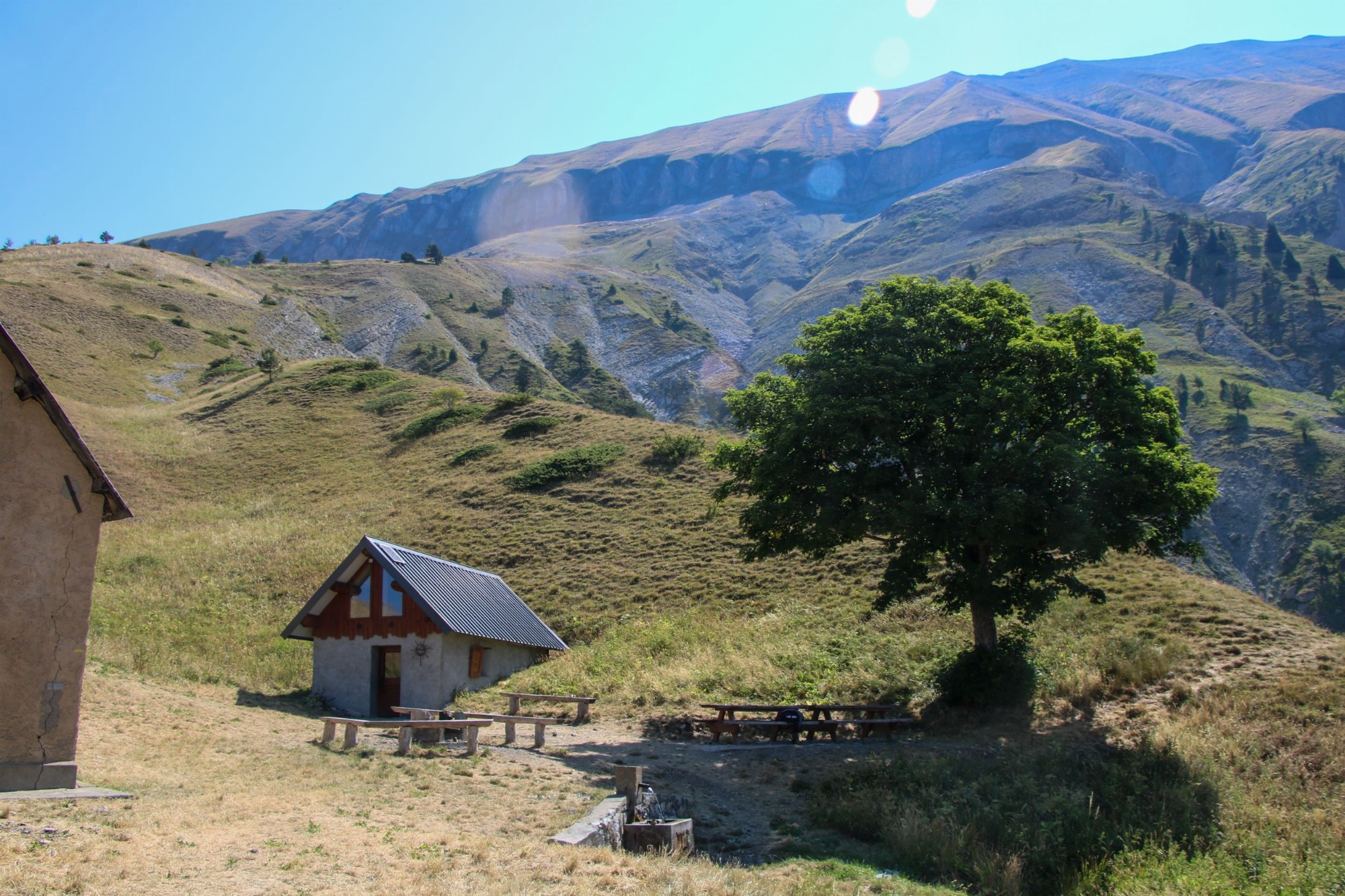
Set off on this mountain loop on the balcony of Rattier and Obiou. A short path clinging to the cliffs takes you up to the Rochassac mountain pasture. Take a picnic break at the pleasant Rochassac hut and its fountain.
Rochassac and the Swallow Trail
Saint-Baudille-et-Pipet
Distance
10.6km
Duration
4h30
Elevation
823m
Difficulty Level
Difficult
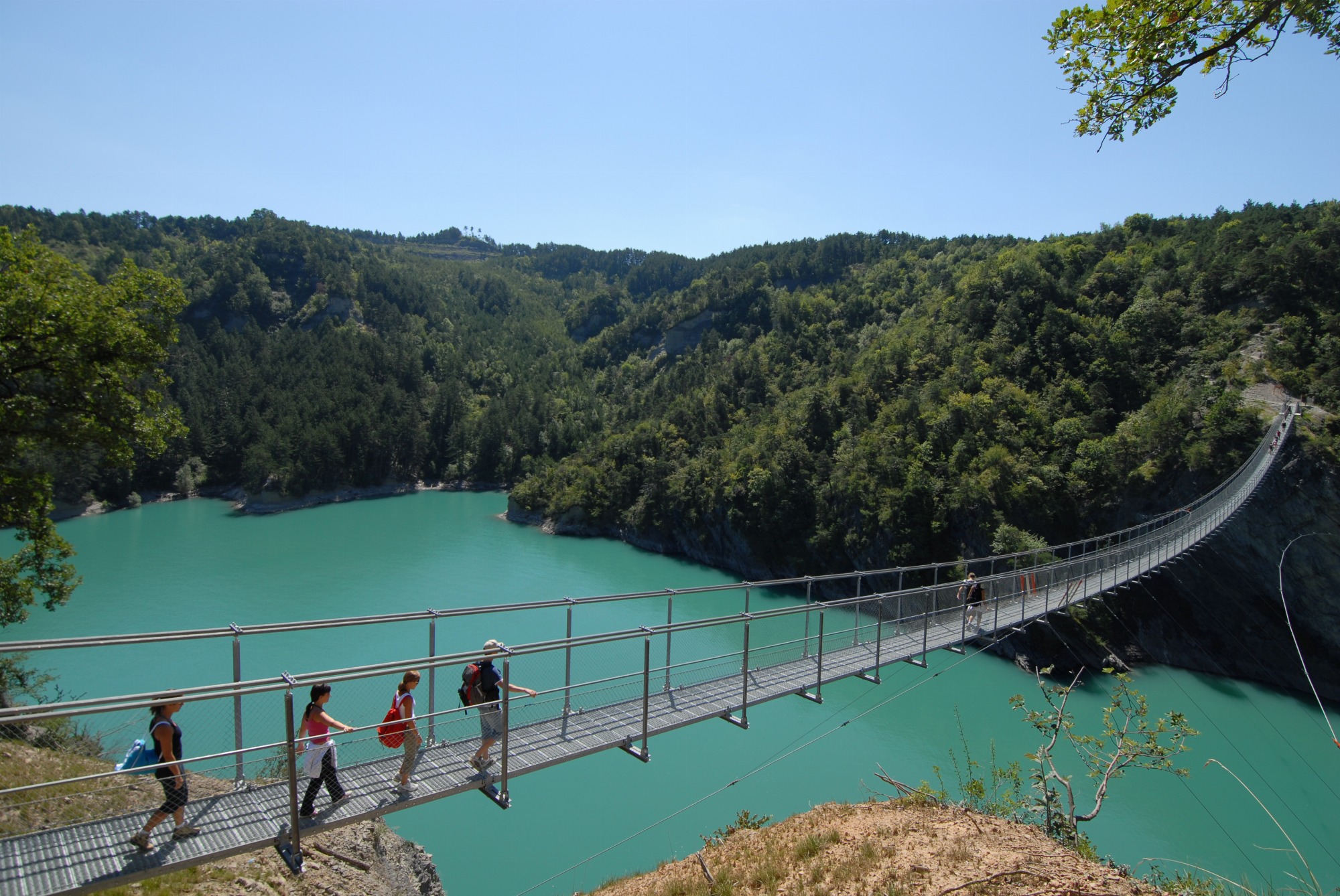
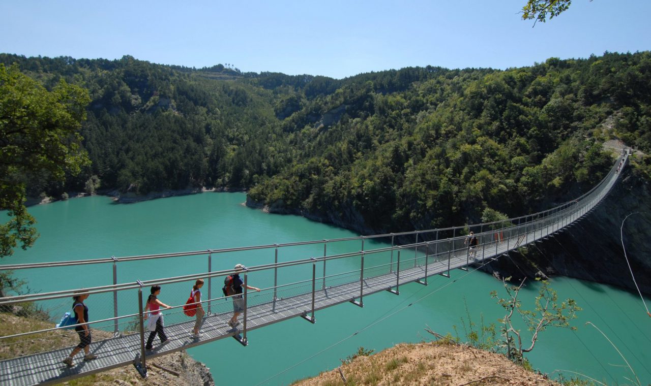
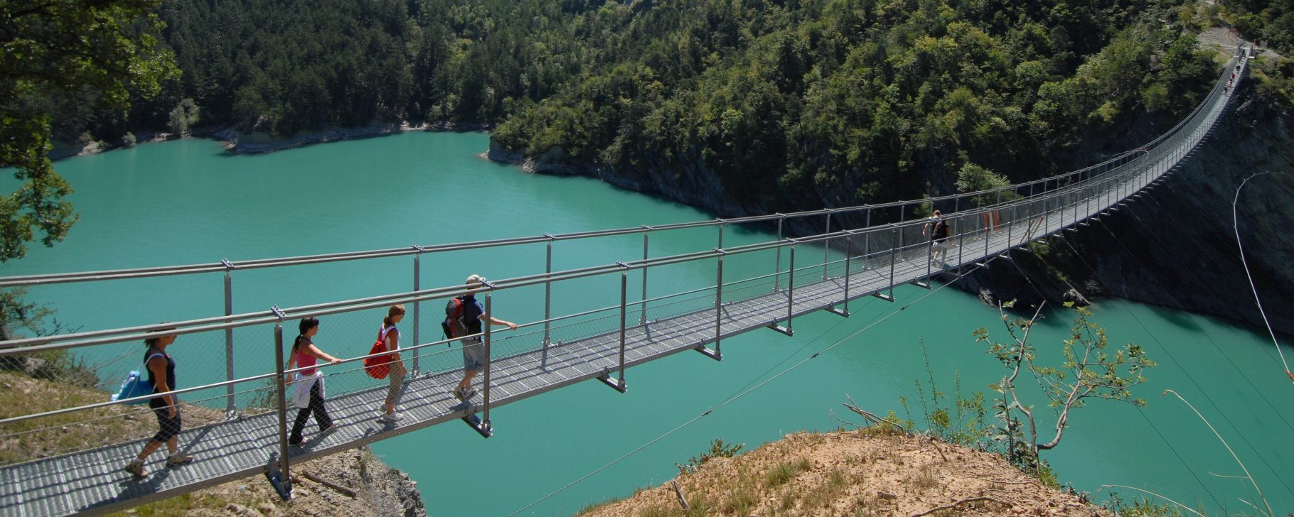
The easiest way to see the famous Ebron footbridge, this round trip on the trail has the advantage of offering a clear view of the lake at the start of the route. It's also possible to take it with the help of an all-terrain baby carriage.
Passerelle de l'Ebron (par la piste)
Treffort
Distance
6.8km
Duration
2h30
Elevation
127m
Difficulty Level
Easy
Before you set off, don’t forget to read our 5 tips for responsible hiking.