
Hike description
Type
Loop
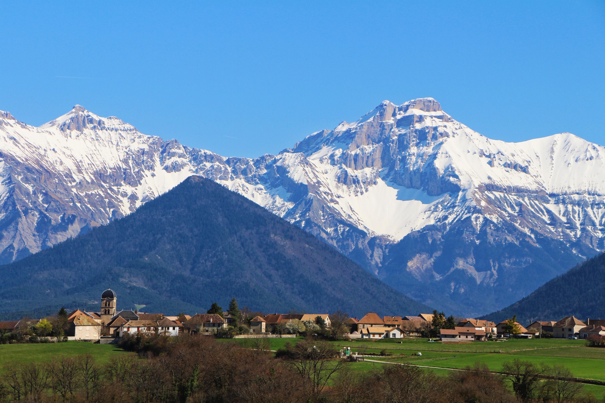
Altitude
Max : 1353m
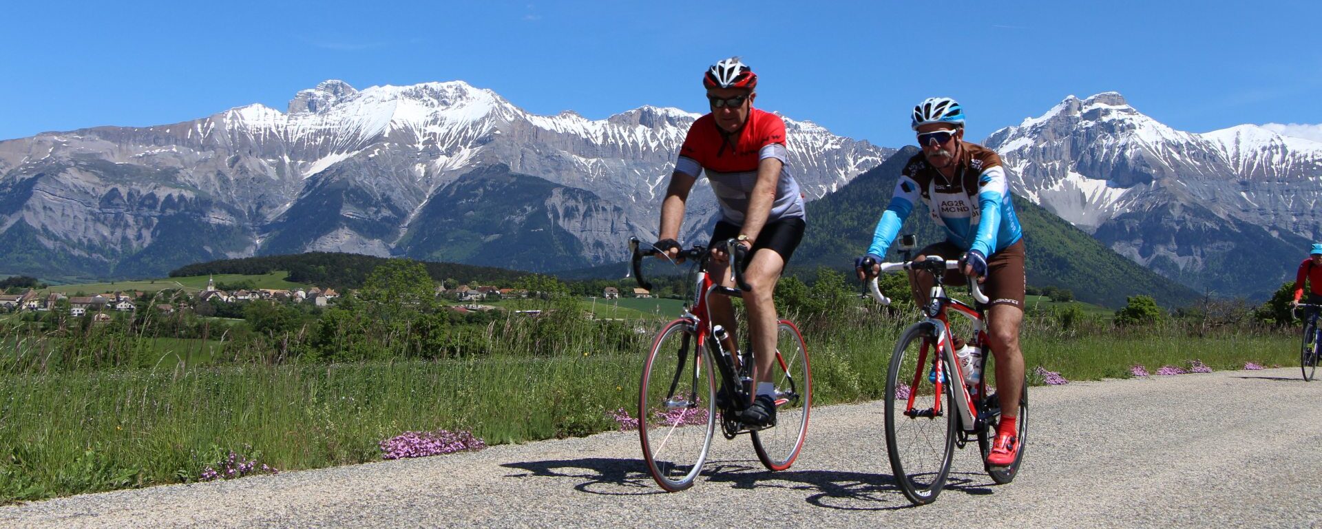
The audience
- Cyclists
Introduction
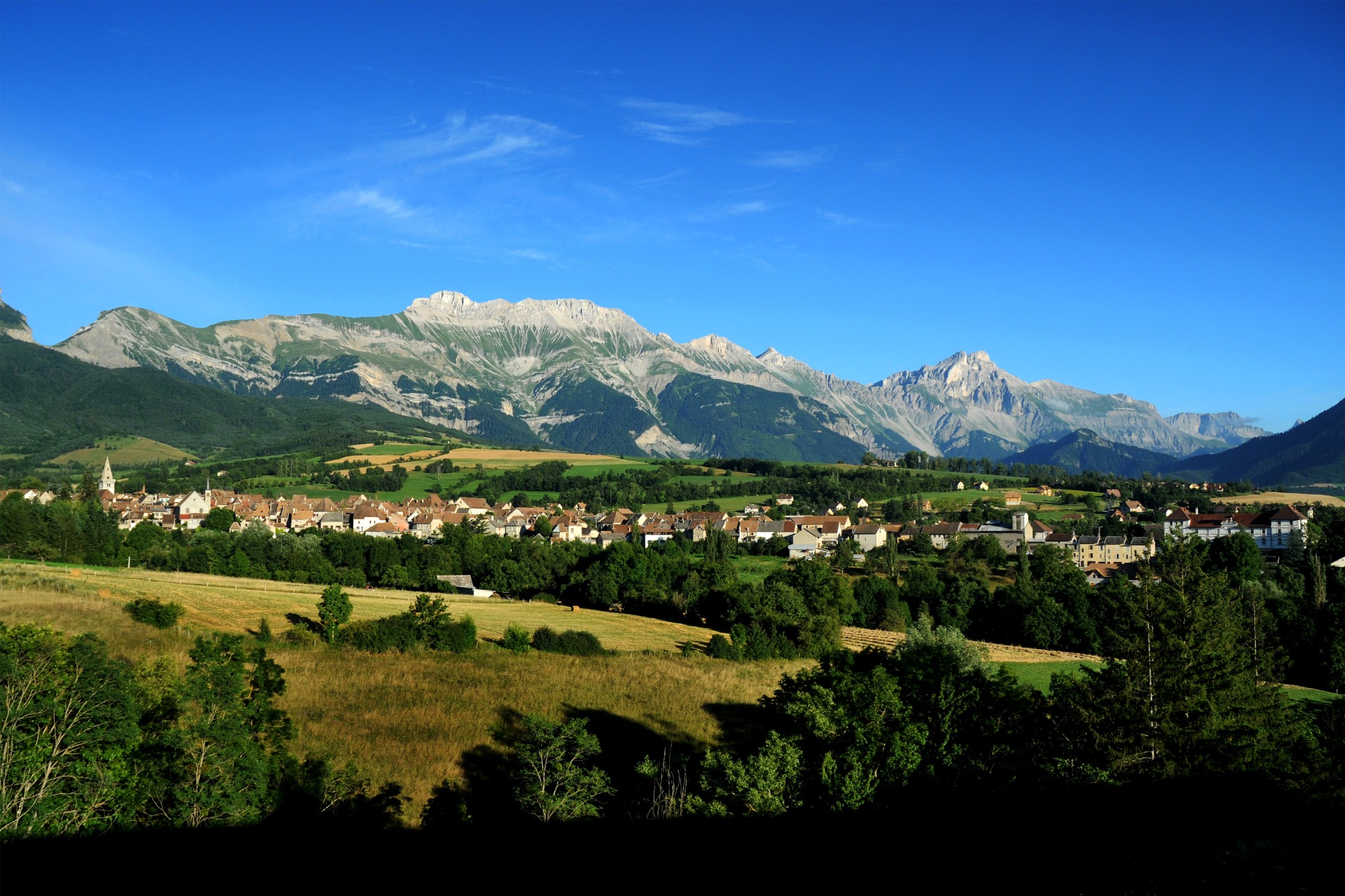
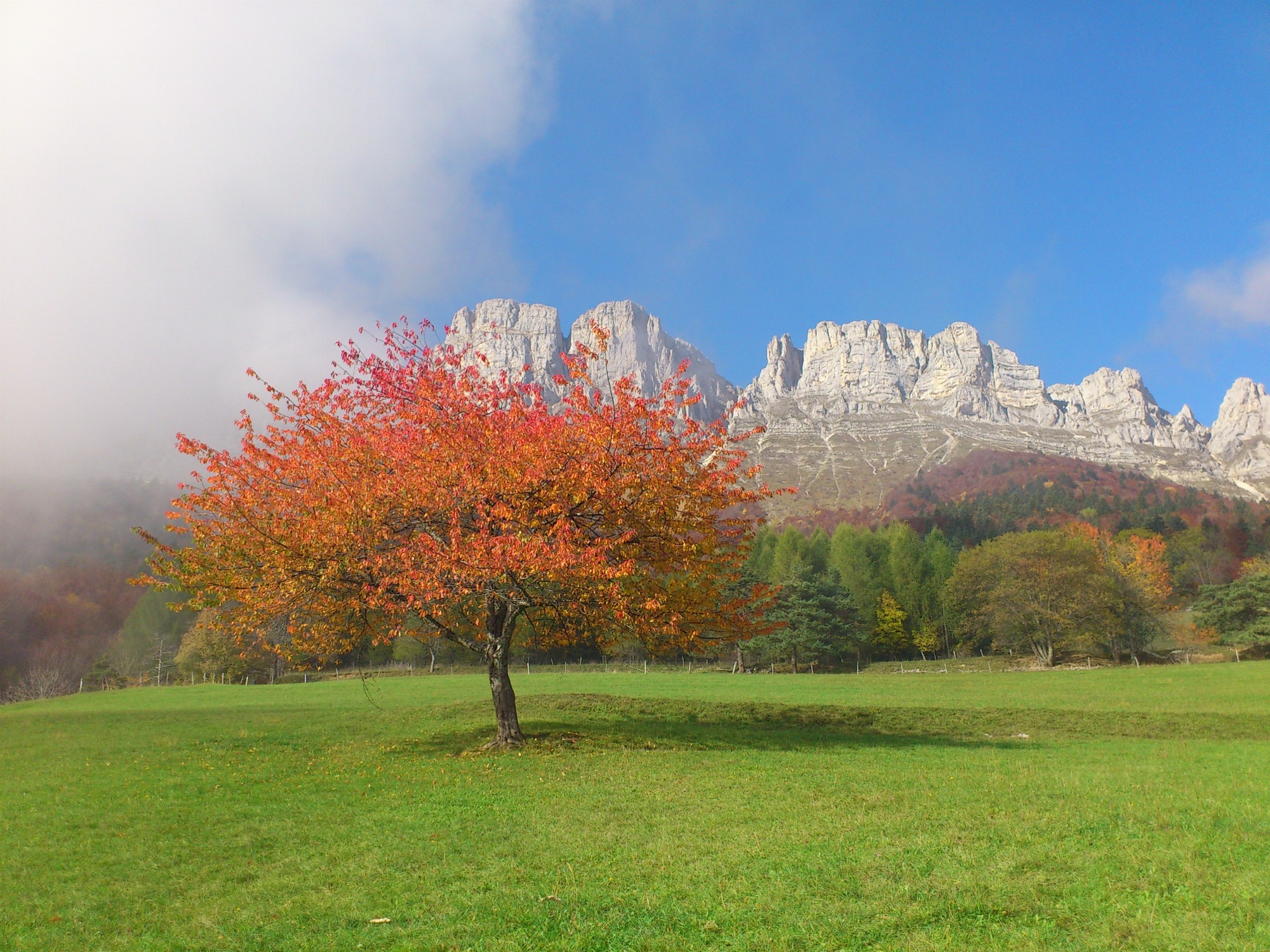
A magnificent itinerary that allows you to appreciate the rich landscapes of the Trièves, from the foothills of the Vercors massif to those of the Dévoluy massif! The program includes passes, picturesque villages, small undulating roads, panoramic views...
Pets welcome : no
Tricky passes
If you're travelling on the RD1075, which carries heavy traffic for 10 km between Saint-Michel-Les-Portes and Longefonds, be on your guard!
Useful information
Facilities
Location
Office du Tourisme
Rue du Breuil
38710 Mens
T95 Grenoble - Mens line (Mens stop)
Latitude : 44.817217
Longitude : 5.751786
Altitude : 764m
A découvrir aussi
A sporty loop that links the Col de Menée and Col de Grimone climbs. The Col de Menée is signposted with kilometer markers. It's a great way to enjoy this Mediterranean climate!
Between Trièves and Diois - Cycling path n°8
Clelles
A beautiful loop in the heart of the Trièves, taking in small villages with magnificent views: Le Percy, Monestier-du-Percy and Prébois!
The main difficulty is the short climb between Sandon and Le Percy.
Villages in the heart of the Trièves - Cycling path n°2
Mens
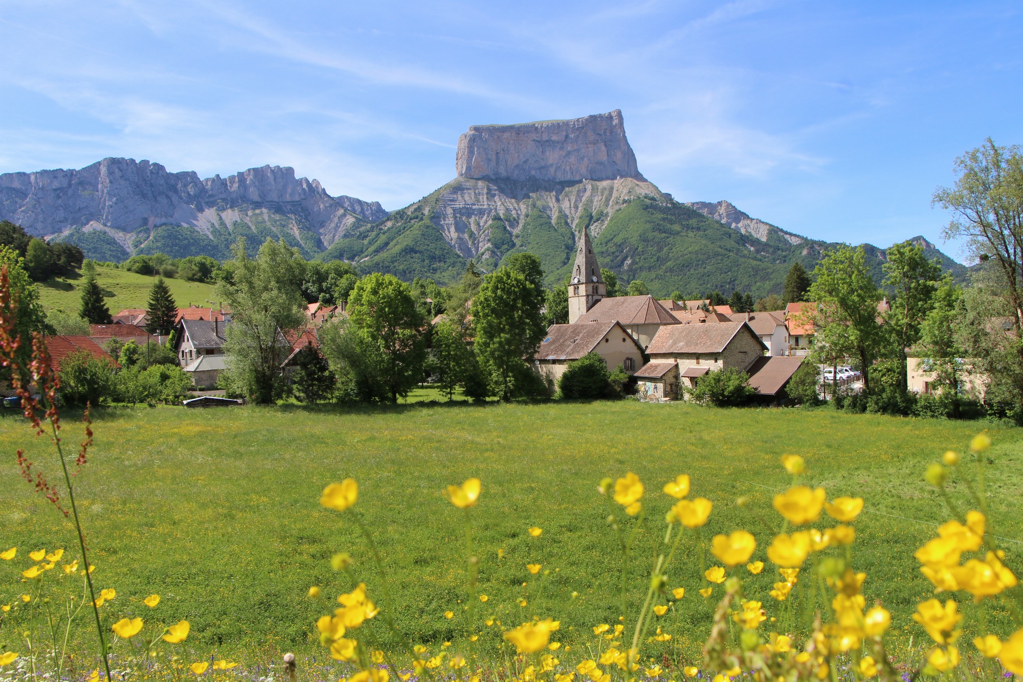
A beautiful loop that will allow you to tackle the Col de l'Allimas (1352m), the main difficulty of the route. The views of the cliffs on the eastern balcony of the Vercors are impressive, especially the view of Mont-Aiguille from the Col.
The East Vercors Balcony - Cycling path n°5
Monestier-de-Clermont

A pleasant, varied route through the back roads of the Trièves, taking in the scenery on both the Vercors and Dévoluy sides of the region, and admiring two emblematic peaks: Obiou and Mont Aiguille!
From Obiou to Mont-Aiguille - Cycling path n°7
Clelles
This loop offers many panoramic views of the Trièves and its cultivated land, which in spring is a colorful patchwork! Take the time to look up from the handlebars on this very pleasant route, punctuated by splendid viewpoints!
Panoramic views of the Trièves - Cycling path n°3
Mens
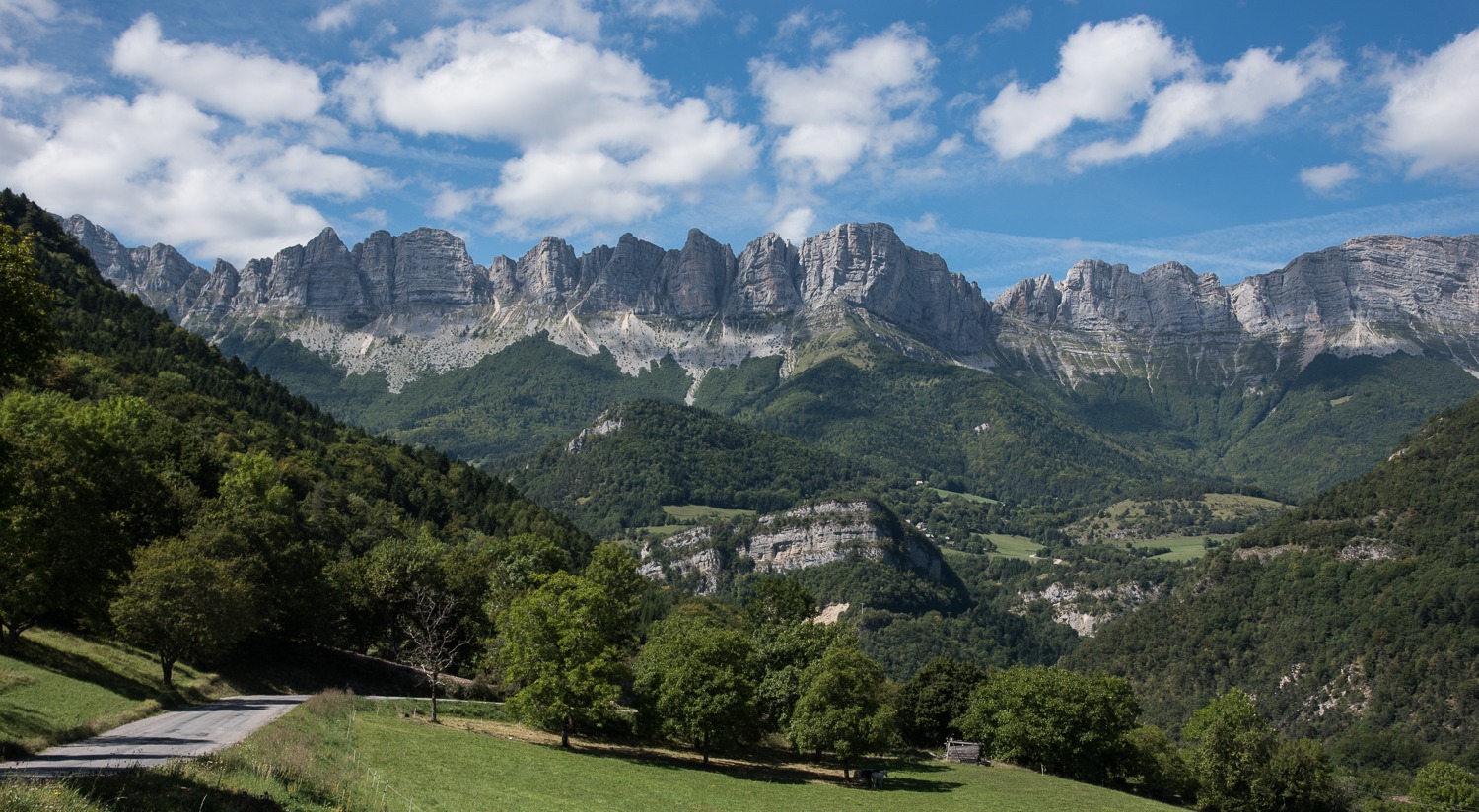
The sublime Balcon Est du Vercors route is a little
for cyclists! At the foot of the Vercors
cliffs of the Vercors, this small mountain road offers
splendid views of the "French Dolomites".
From Grand-Veymont to Deux-Sœurs - Cycling path n°4
Gresse-en-Vercors
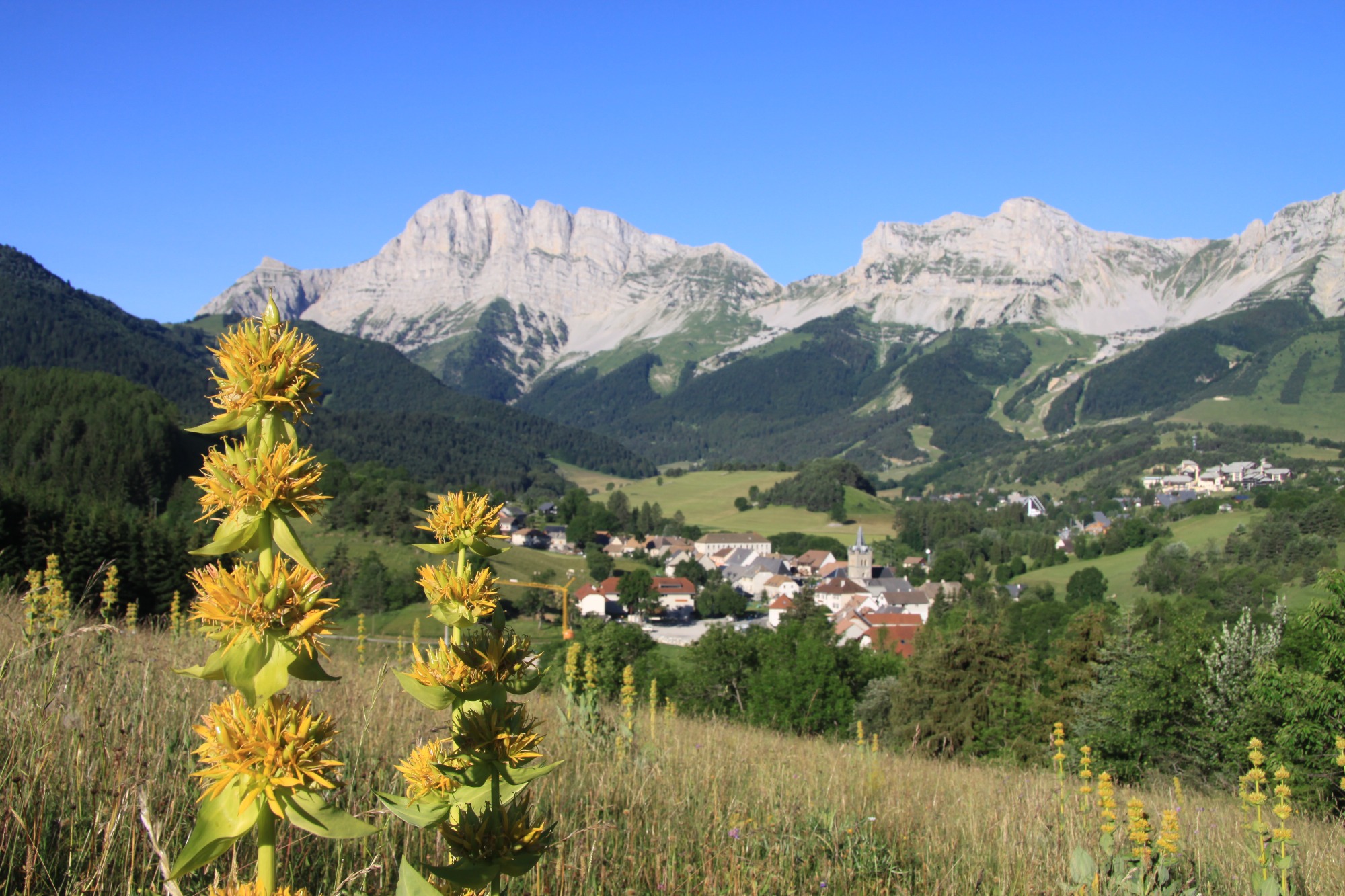
Covering the roads of the northern Trièves region, this
loop takes you on either side of the Gresse river.
the Gresse river. Your calves are in for a real treat with the ascent of the Col de l'Arzelier from the Saillants du Gua!
From one bank of the Gresse to the other - Cycling path n°6
Monestier-de-Clermont