
Hike description
Type
Signposted roundtrip
Altitude
Max : 1543m
The audience
- Walkers/hikers
Introduction
Departing from the charming hamlet of Trézanne, the Goutaroux hike offers incredible views of nearby Mont-Aiguille, as well as the Trièves countryside from the summit.
Quite a varied hike, with open sections offering views of Mont-Aiguille, refreshing sections in the north-facing forest and a final section over the Aubeyron ridges to the summit of Goutaroux.
Pets welcome : yes
Further detail on accompanying pets : Dogs must be kept on a leash.
Further information on this Hiking Trail
Yellow and green markings
Tricky passes
The route follows the ridge at the end. This requires a certain amount of vigilance if you are with children. Not recommended in fog.
Map reference
Carte "Promenades et randonnées en Vercors Trièves"
Other information
Adaptez votre équipement en fonction de votre niveau et de la météo. Restez sur les sentiers balisés. Cet itinéraire longe la Réserve Naturelle des Hauts-Plateaux du Vercors.
Useful information
Local Services
Access
Step by step
Start: Drive to the Trézanne parking lot. Start from the "Trézanne" signpost, near the chapel.
1) Follow the signs for "Seiterat", taking the track to the north.
2) From the "Seiterat" post, follow the path on the right which climbs steadily to reach "Les Brutinels" then "Les Sagnes" and finally the "Col de Papavet". Alternatively, take the forest track, which winds more gently.
3) At "Col de Papavet", follow the signs for "Le Goutaroux", taking the track that runs north-east. This track runs almost flat, and at its end leads to a pretty path on the right, which climbs steadily through the forest. The ascent is pleasant and you quickly gain height. Keep an eye out for yellow and green markings, as the route crosses other unmarked paths.
4) Leaving the forest, you begin to skirt the crests of the Aubeyron. Follow the path as it climbs, then crosses over and even drops back slightly before the short final climb to the summit of Goutaroux.
Return by the same route.
Location
Trézanne
38930 Saint-Martin-de-Clelles
Follow signs for Trézanne, then cross the hamlet to reach the parking lot.
Latitude : 44.845062
Longitude : 5.580265
Altitude : 1005m
A découvrir aussi
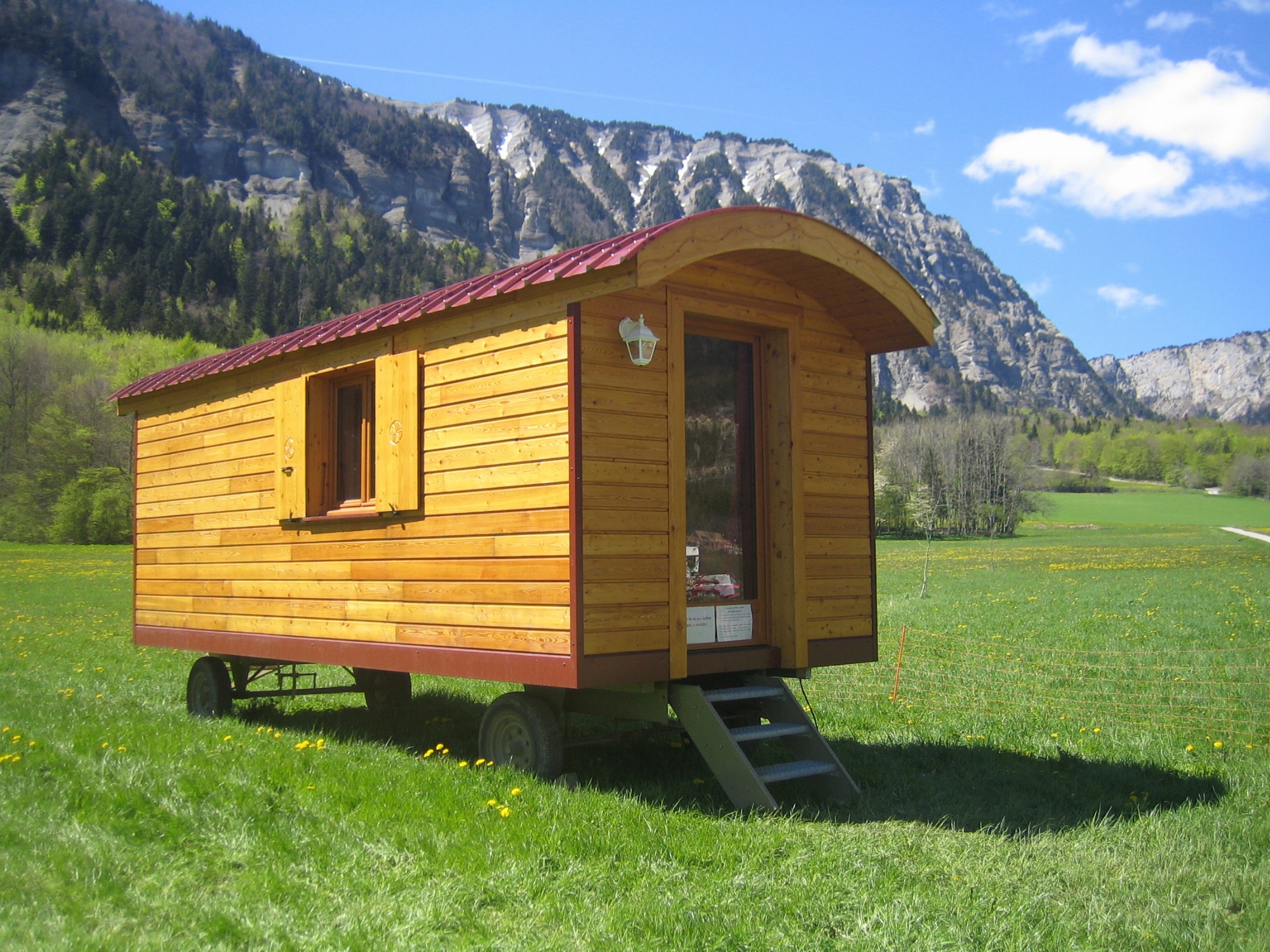
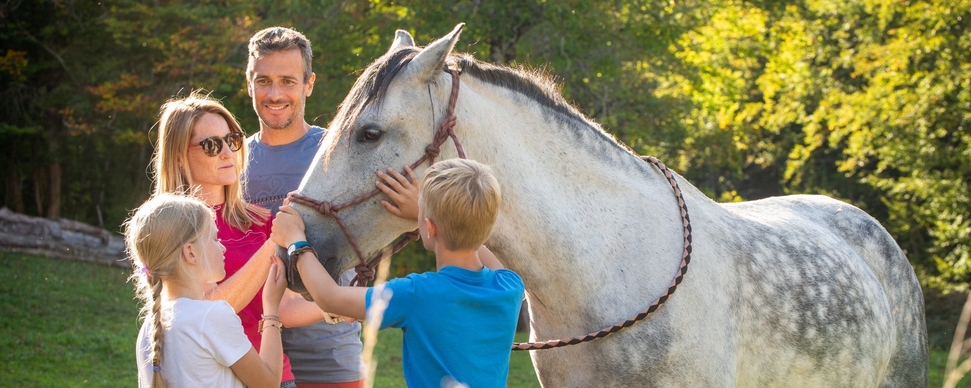
The charm and authenticity of nomadic accommodation, combined with the simplicity of a natural welcome! You can rent one of our three trailers for a night, a weekend or a vacation.
La Ferme du Pas de l'Aiguille - Roulottes
Chichilianne
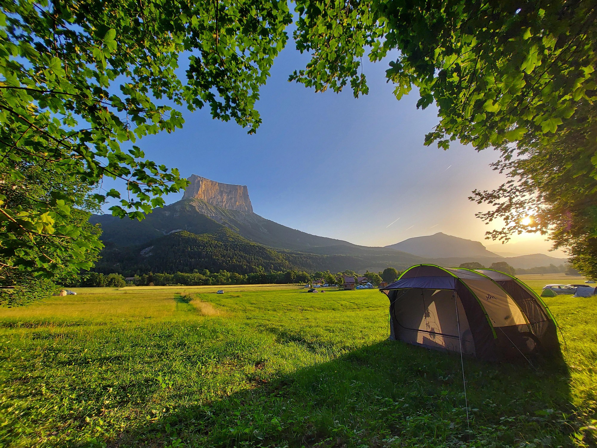
Our year-round campsite is 300 m from hiking and climbing trails (Mont-Aiguille, Pas de l'Aiguille...).
You'll enjoy shady pitches on the edge of the forest, with a breathtaking view of Mont-Aiguille!
La ferme du Pas de l'Aiguille - Camping
Chichilianne
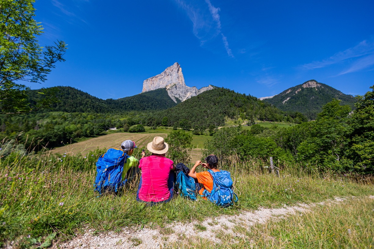
A forest and country atmosphere for this hike, with unforgettable discoveries along the way: the Darne viaduct, the hamlet of Trézanne, and magnificent viewpoints from which to contemplate Mont Aiguille.
Les facettes du Mont-Aiguille
Clelles