
Introduction
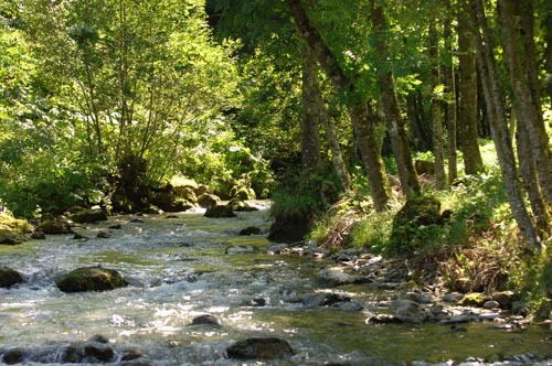
La Gresse and its tributaries (Chapelles, Peychier, les deux Sagna). For fishing, this is a 1st category river.
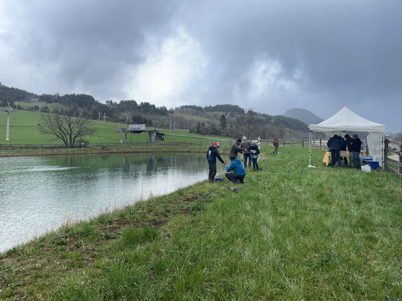
Some areas are reserved for fishing
Fishing reserve in 2014:
- Ruisseau de la Combe Bonne Donne: 200 m Upstream limit: La Source, Downstream limit: Confluence with Aulanier, for 3 years
- Ruisseau de Berrièves: 700 m Upstream boundary: La Source, limit downstream: Pont lieu-dit La Combe, for 3 years
- La Gresse: 900 m Upstream limit: Pont du parking de la Boulangerie, Downstream limit: Pont du garage communal, for 1 year
- L'Aulanier (Les Chapelles): 2000 m Upstream boundary: La Source, Downstream limit: Confluence with the Gresse, for 1 year.
Opening Hours / Rates
Rates
Fishing pass on sale at La Chicholière restaurant in Gresse en Vercors and at www.cartedepeche.fr.
Location
38650 Gresse-en-Vercors
Latitude : 44.901091
Longitude : 5.562072